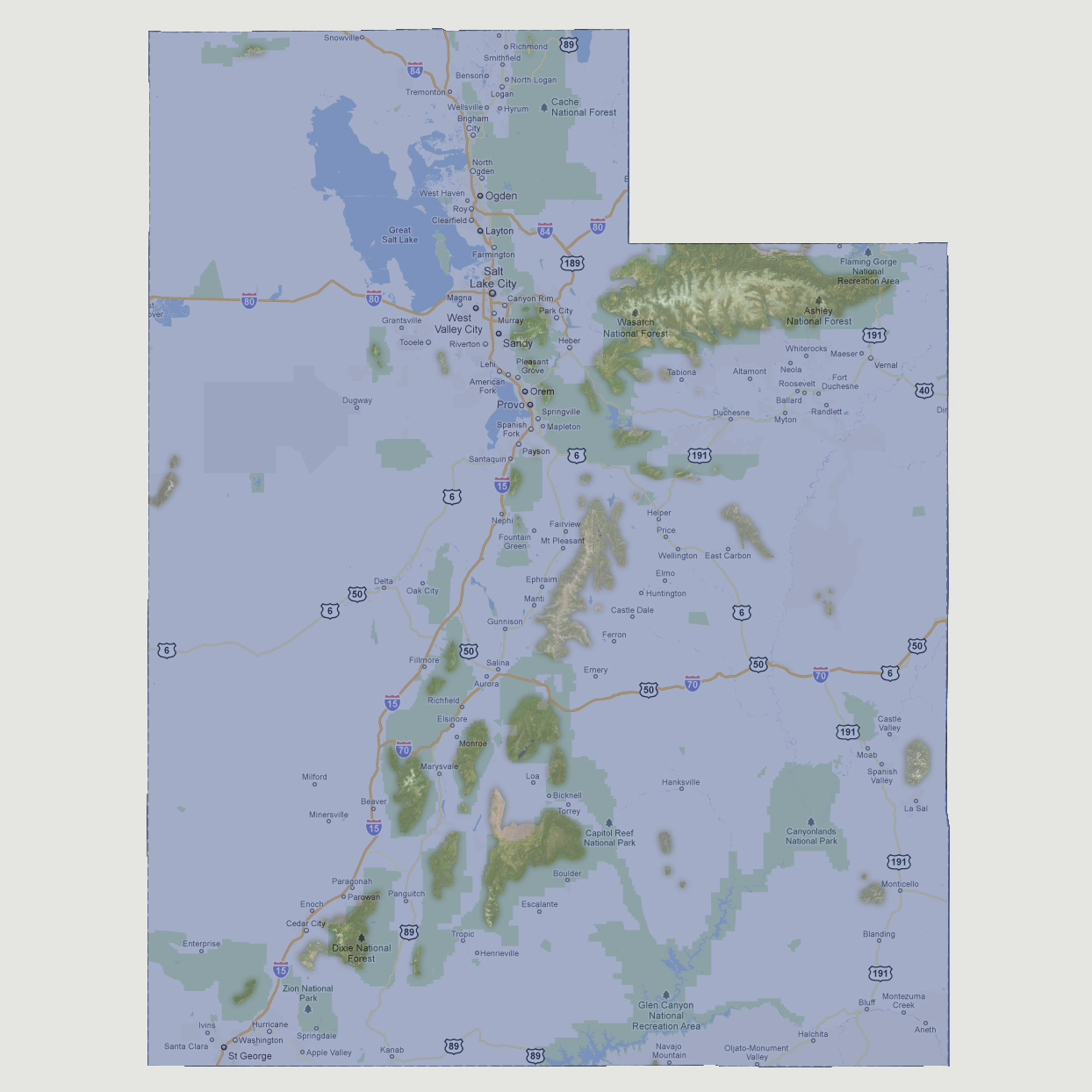
Utah
-9,000 feet
The
largest island is the mountain ridge between Ashley and Wasatch National
Forest covering approximately 1600 square miles. There is also a cluster
of islands in the Dixie National Forest and Capitol Reef National Park
areas as well as a long ridge island in between Ashley and Capitol.
© 2012