Montana
- 3,000 feet
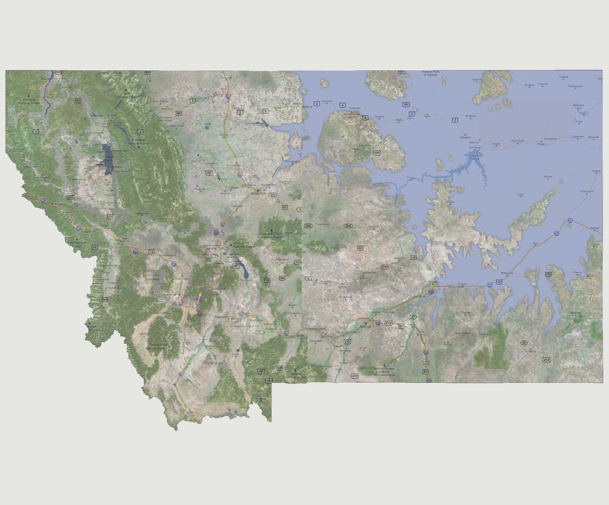
At
3,000 feet of sea level rise, the Missouri, Yellowstone and Milk Rivers
would all be flooded on the northeastern half of the state creating one
large lake area. This would include the areas of Fort Peck, Glendive and
Miles City. On the new shoreline would be Havre, Fort Benton, Hysham/Forsyth,
and east to Baker. There would be a few large islands as well; one containing
most of Fort Belknap, Hays and Lodge Pole; another north of Malta and
another east of Opheim.
© 2012