Idaho
- 4,500 feet
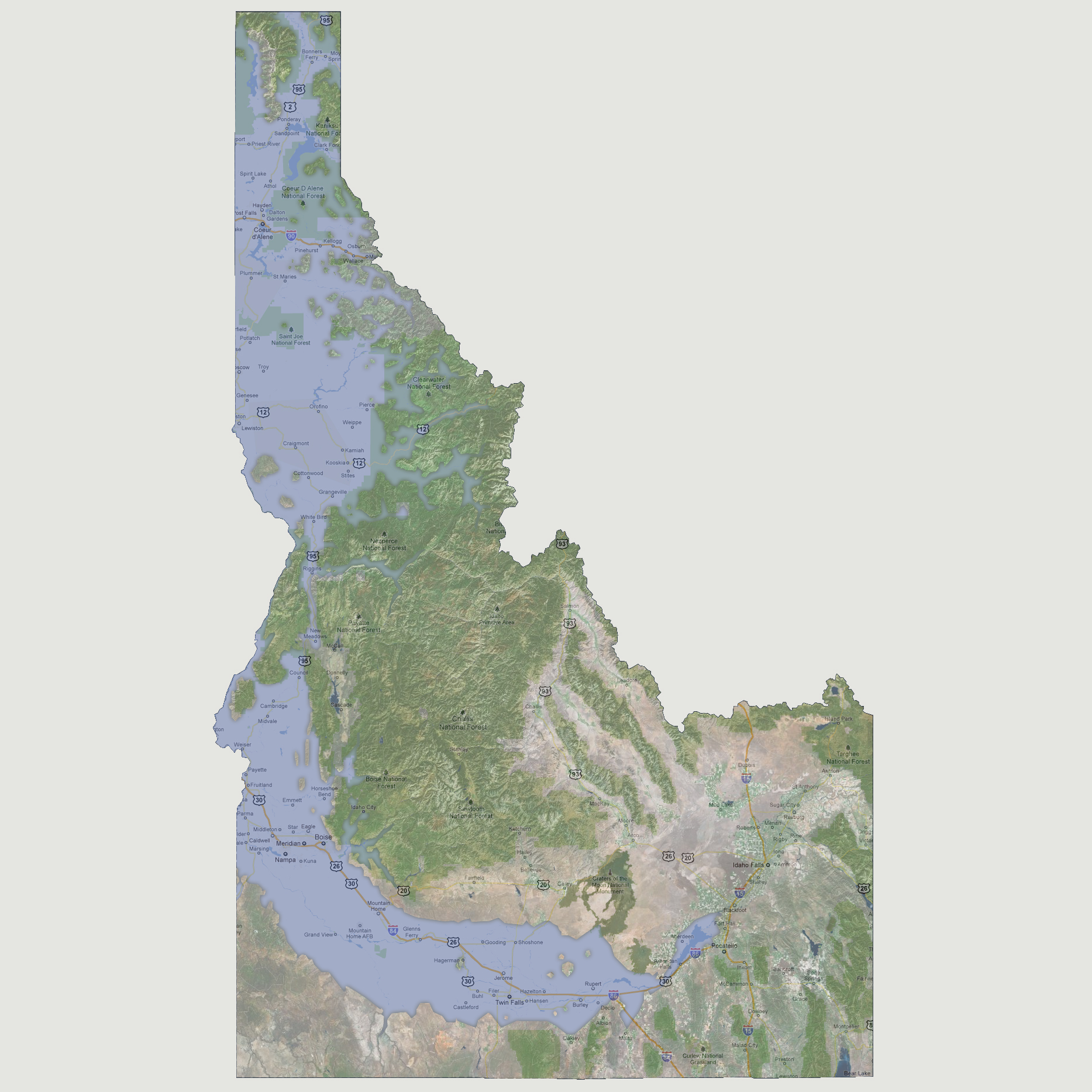
The
Snake River continues to flood breaching the American Falls Reservoir
taking out Twin Falls along its route. The Snake River converges with
the Salmon River through New Meadows in the Payette National Forest. Waterways
are now forming throughout the northern portion of the state creating
a number of small islands. At this point, all major roadways are underwater
except Interstate 15 on the states eastern border.
© 2012