Iowa
- Current Level to 300 feet
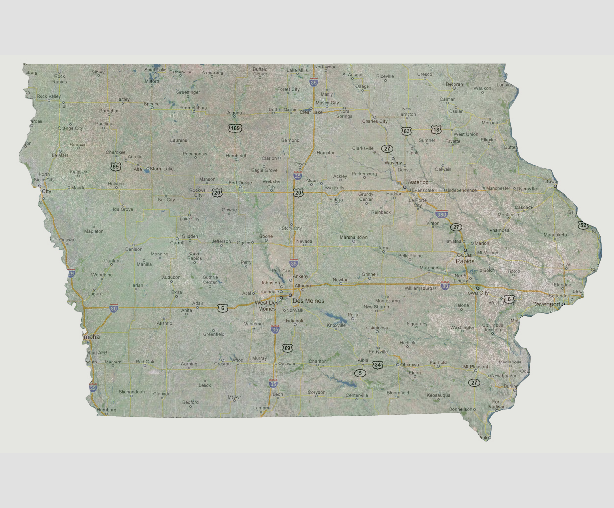
Being
far enough away from the Atlantic Ocean, Iowa is much less susceptible
to tidal surges or massive flooding. If there was a slow sea level rise
that made its way up the Mississippi River, Iowa would start to be affected
at about 480 feet of sea level rise (lowest point is where the Mississippi
River meets the Des Moines River).
© 2012