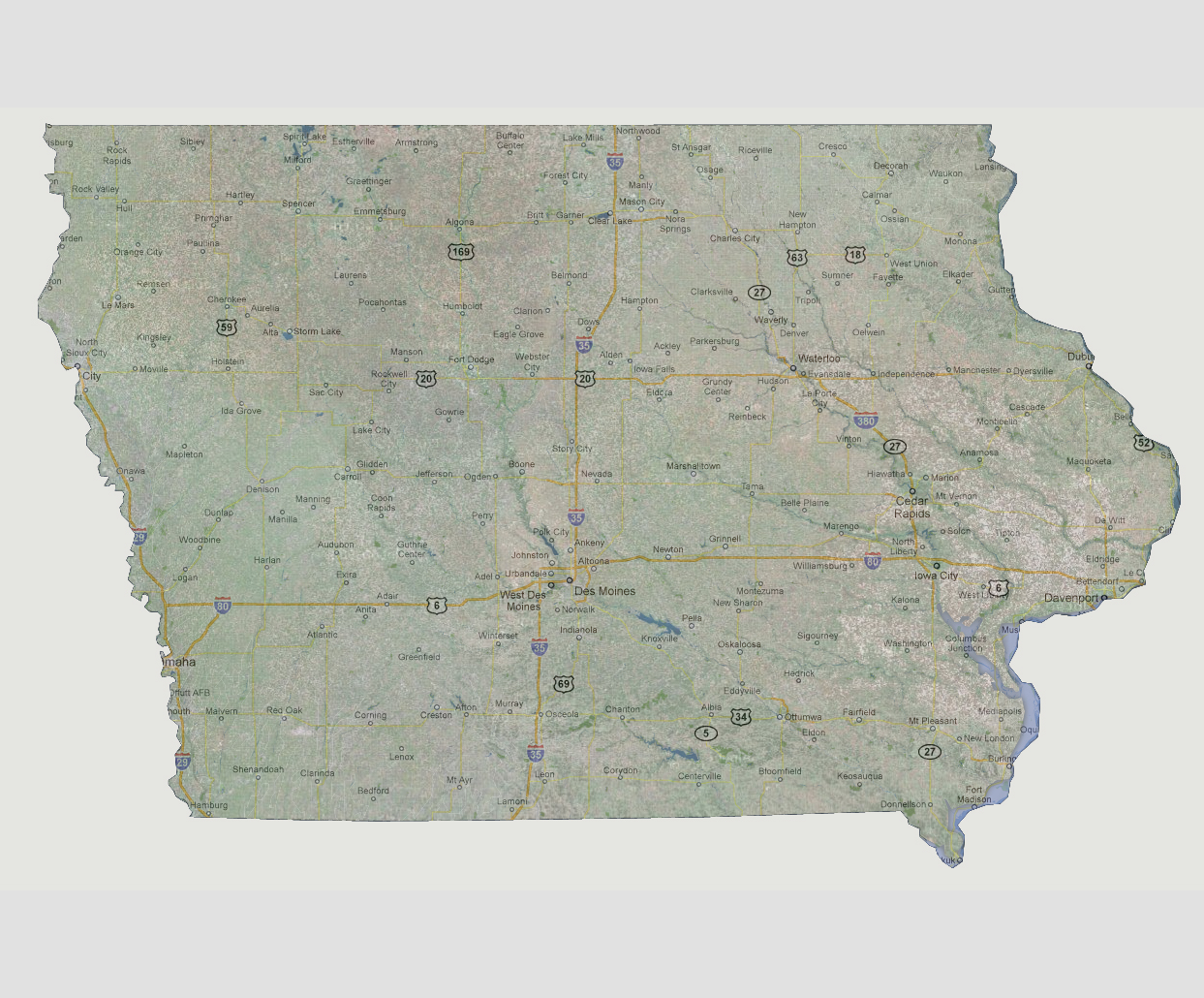
large image

Iowa - 600 feet
At this stage, only slight flooding of the lower Mississippi River is seen. Some localized flooding of the Iowa and Cedar Rivers where they meet is also possible. Fort Madison and Keokuk would be affected.

Select Sea Level Rise (in feet):
To use the map above, select the ocean level rise you would like to view, use the plus and minus keys on the keyboard or the mousewheel to zoom in and out. Click and drag on the map to change the viewing location.

© 2012