Wyoming
- 7,500 feet
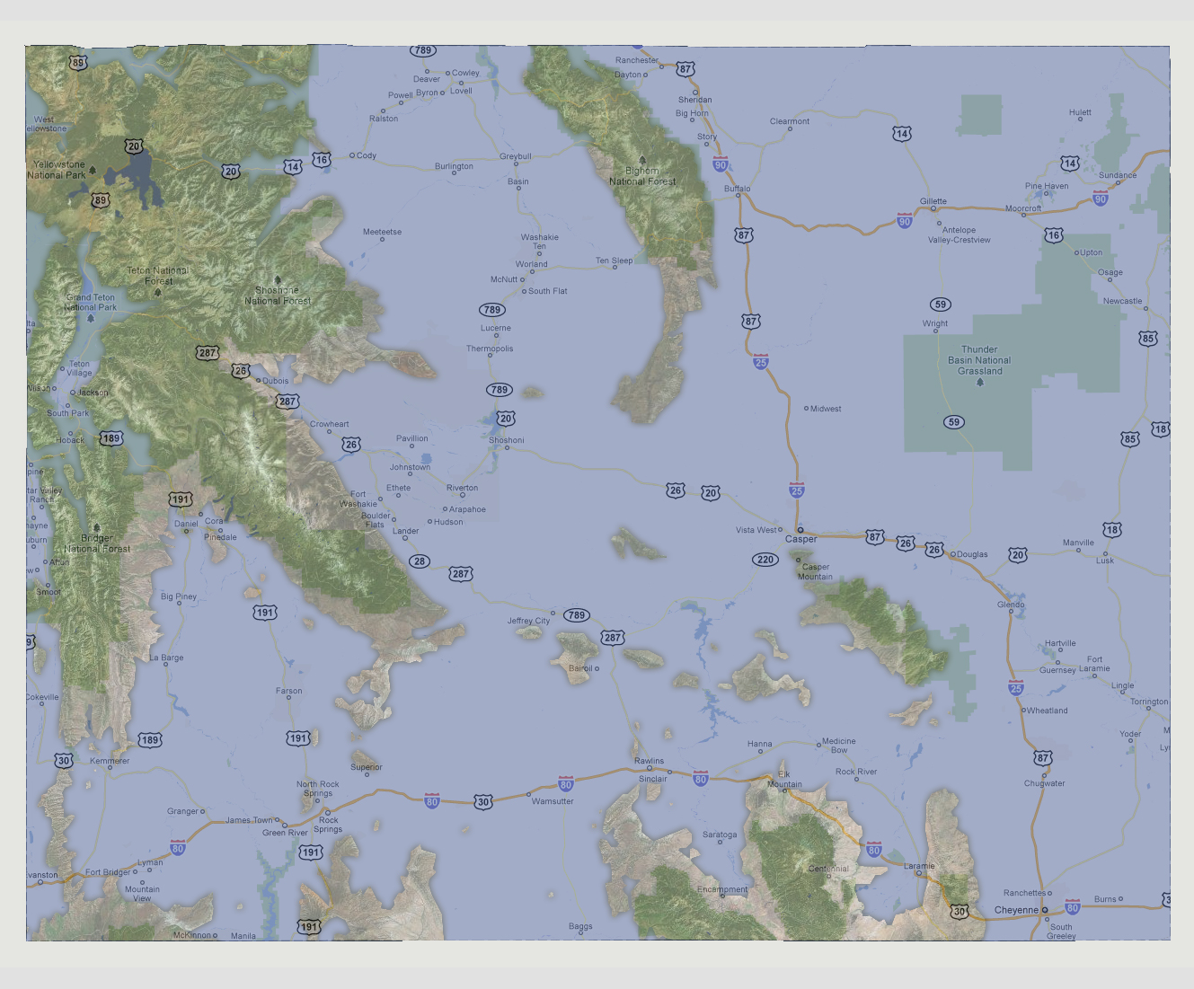
At
7,500 feet of sea level rise, most of the Continental US is underwater.
Wyoming now has a large land mass in its northwestern corner containing
the Yellowstone, Tetons, Gros Ventre and Bridger higher elevated areas.
About 650 square miles of the Bighorn National Forest is a second island.
The Routt National Forest, where it reaches into Wyoming on the southern
border is above water but the state capital of Cheyenne is not. There
are a few smaller islands around these areas.
© 2012