Wyoming
- 4,500 feet
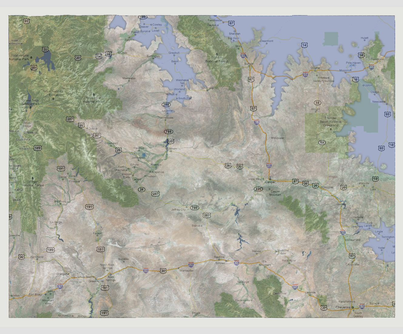
At
4,500 feet, the lowest lying rivers would start to flood on the north
and eastern borders of the state. The North Platte River would flood as
far inland as Hartville, taking out Yoder, Torrington, Lingle and Fort
Laramie. The Bighorn River from the north would flood its banks down through
to Lucerne taking out all towns along the 789. The Powder and Cheyenne
Rivers would converge in the northeastern corner of the state inundating
the Newcastle, Upton, Pine Haven, Clearmont and Sheridan areas.
© 2012