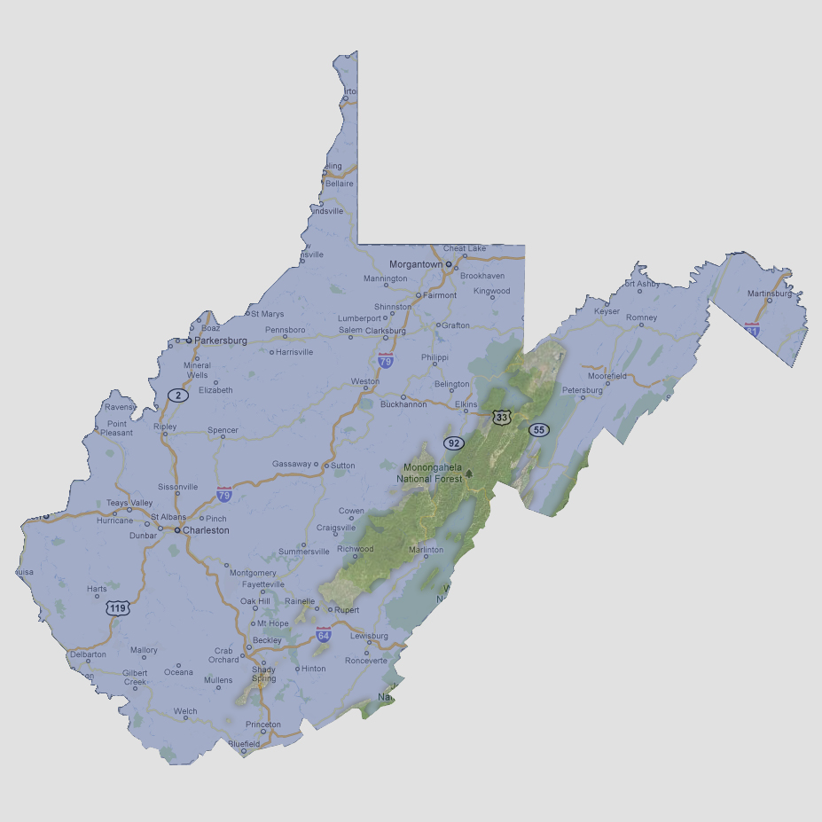
West
Virginia - 3,000 feet
Only
one large land mass and a few 10 square mile islands are left above sea
level. The largest portion is in the Monongahela National Forest from
Parsons to Rupert. The smaller islands are SW of Rupert. The highest point
in West Virginia is Spruce Knob at 4,861 feet above sea level located
in the Monongahela National Forest.
© 2012