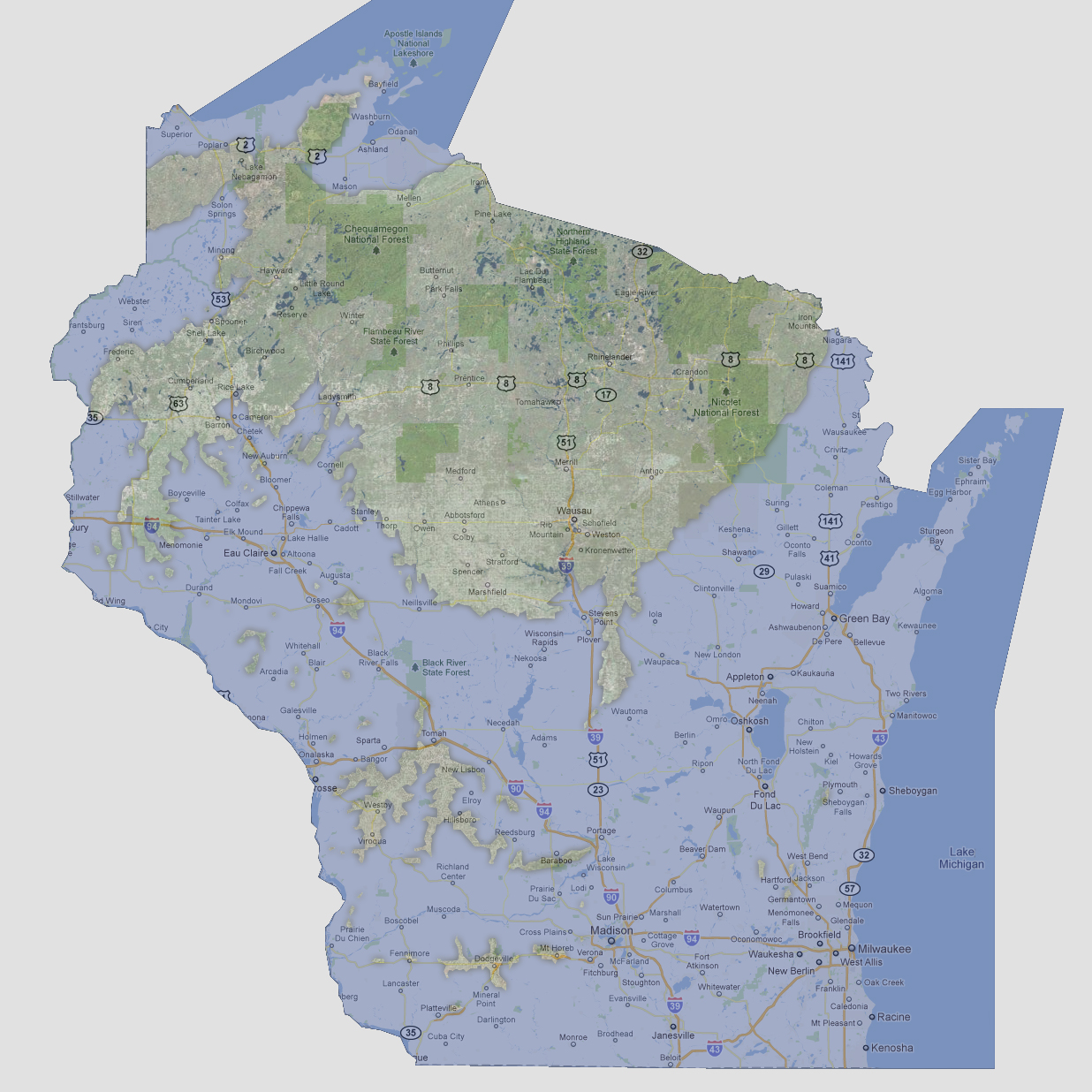
Wisconsin
- 1200 feet
Between
600 and 1200 feet of sea level rise, the impact on Wisconsin would be
great. The lower half of the state would be underwater except for a few
islands, the largest being from Westby to Tomah to Hillsboro. Madison,
Milwaukee, Green Bay and Eau Claire are all underwater. On Lake Superior,
the shoreline at 10-20 miles inland would be underwater. Banks of the
Mississippi and St. Croix River would be inundated along the western portion
of the state.
© 2012