Vermont
- 3,000 feet
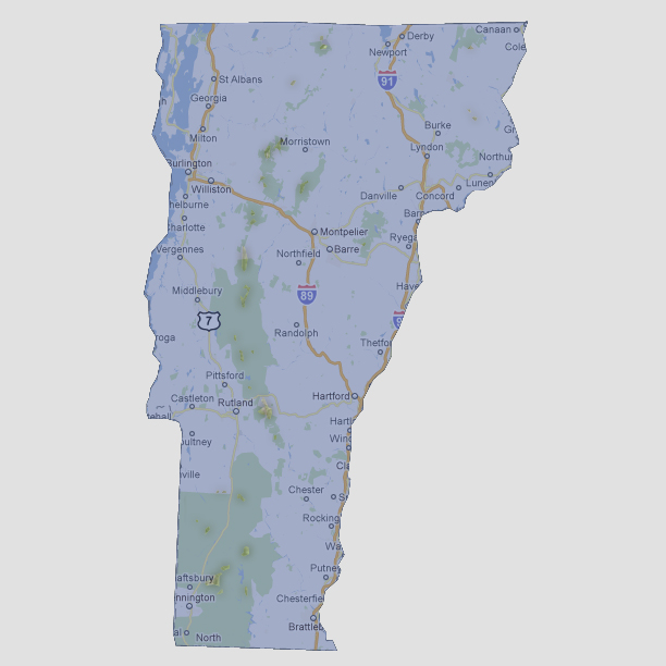
Only
a handful of small, 15 square foot islands remain which were the peaks
of mountains. These run down the center of the state in the National Forest
areas. Mount Mansfield is the highest point of Vermont at 4,393 feet above
sea level and is located just west of Morristown.
© 2012