Virginia
- 3,000 feet
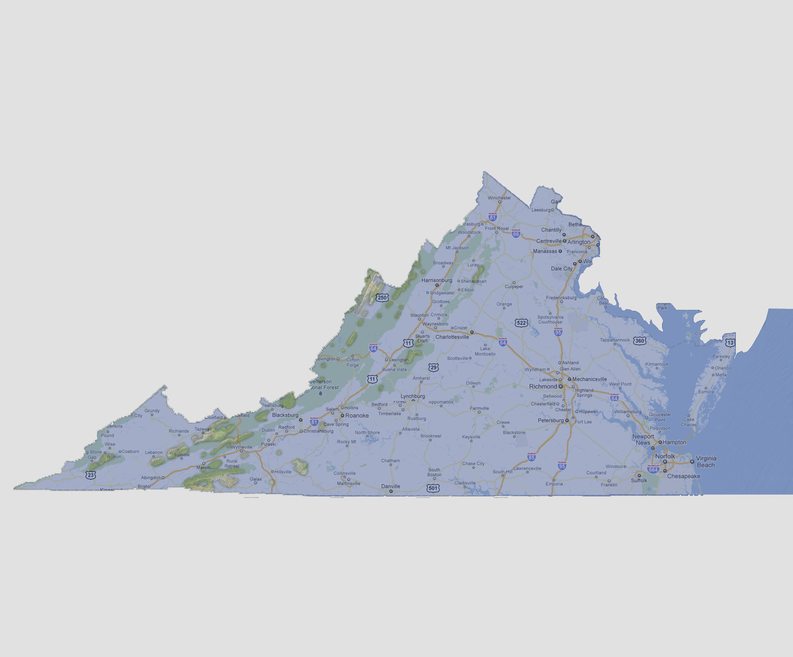
At
3,000 feet above sea level, there are just a number of small islands that
make up Virginia with the majority along the Blue Ridge Mountains. The
largest being just south of Marion in the Cherokee National Forest. This
includes Virginia’s highest point of Mount Rogers at 5,729 feet
above sea level.
© 2012