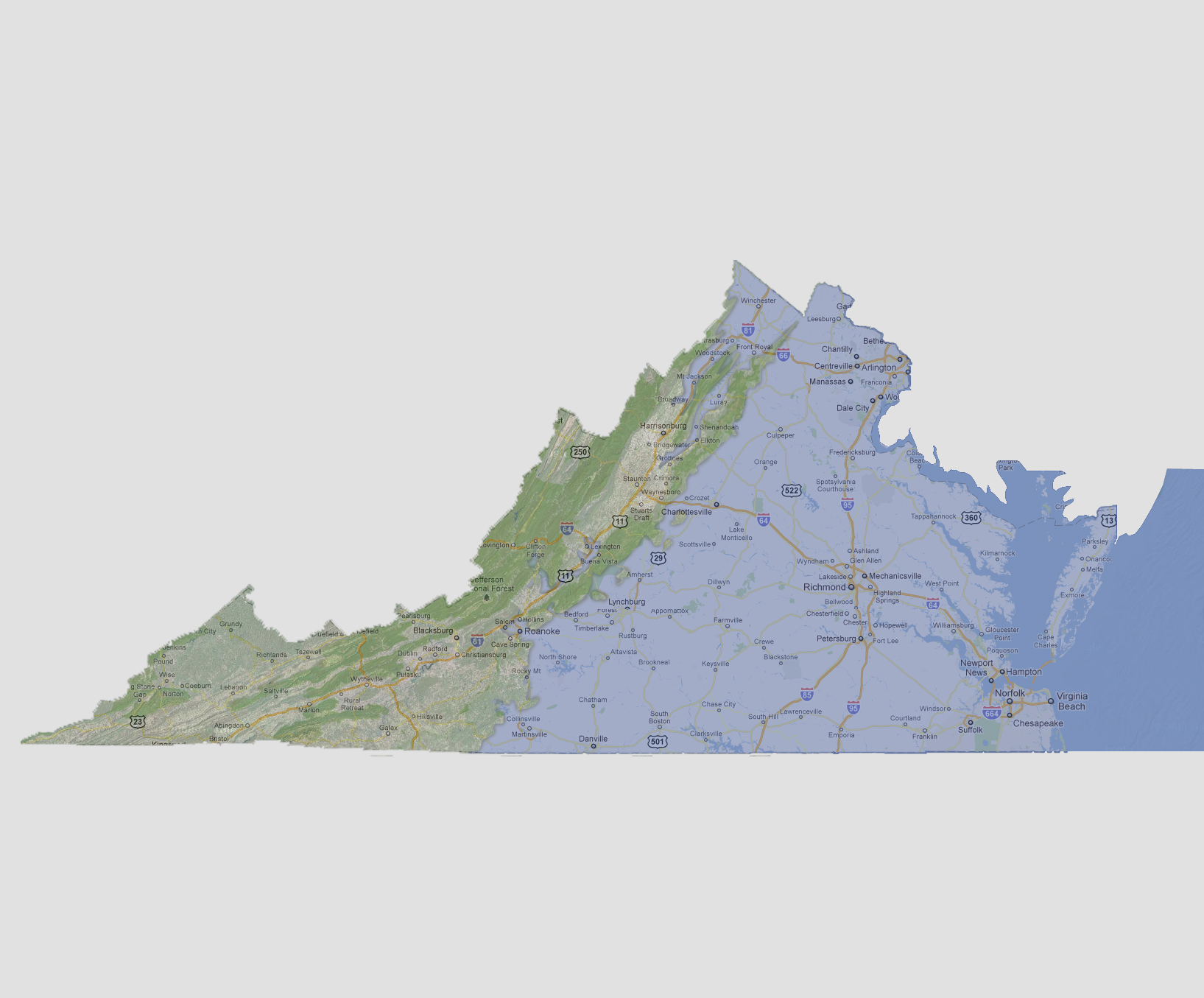
large image

Virginia - 1200 feet
The separation line is now along Interstate 81from the north down to Roanoke where it heads due south. Underwater are Lynchburg, Roanoke, Winchester and Front Royal.

Select Sea Level Rise (in feet):
To use the map above, select the ocean level rise you would like to view, use the plus and minus keys on the keyboard or the mousewheel to zoom in and out. Click and drag on the map to change the viewing location.

© 2012