Texas
- 600 feet
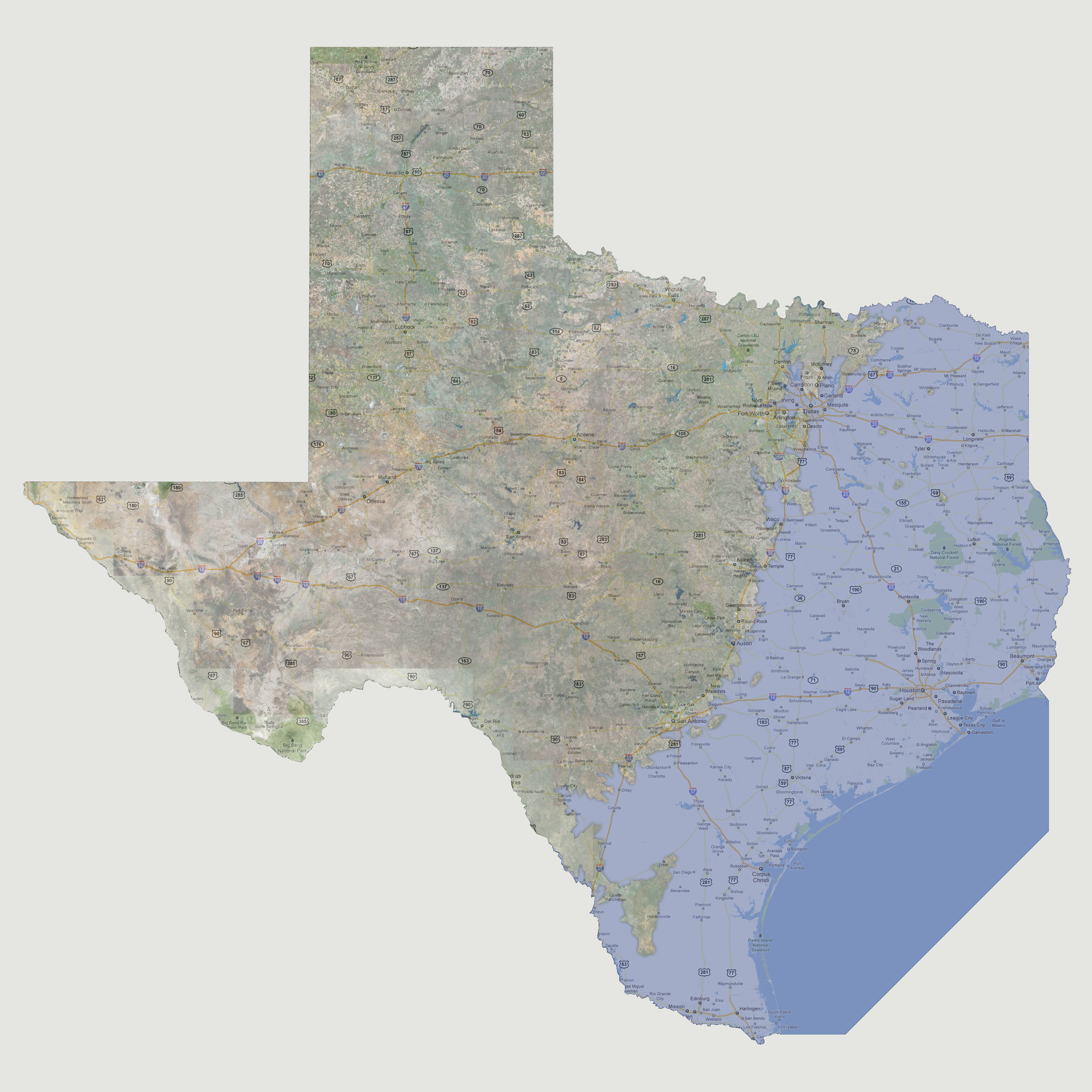
Farther
coastal flooding with the coastline drawn by Interstate 35 with a small
peninsula just east of Laredo. Cities of Dallas, the capital Austin, and
southern outskirts of San Antonio and eastern outskirts of Fort Worth
are now underwater.
© 2012