Oregon
- 3,000 feet
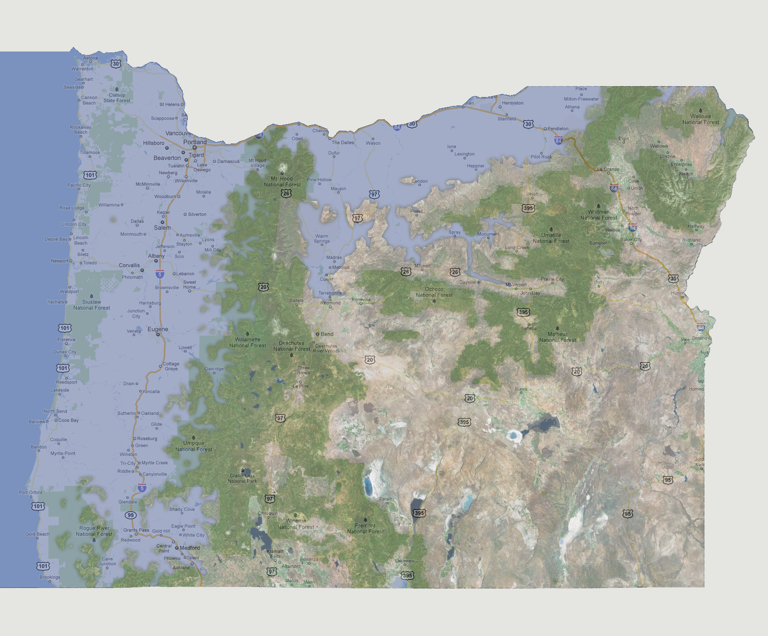
The
Clatsop State Forest and Siuslaw National Forest along the coast are now
underwater. The Mount Hood and Williamette National Forest valleys are
flooding. The Rogue River National Forest is a cluster of small islands
and the Columbia River tributaries are pushing farther south inundating
the Terrebonne, Monument and Mt. Vernon areas. Also water is now starting
to come in the northeastern corner of Oregon from Idaho rivers.
© 2012