Oregon
- 1200 feet
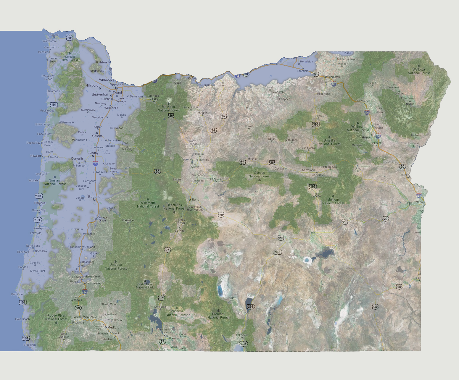
The
Williamette River has now converged with the Pacific Ocean creating a
string of islands that used to be the Clatsop State Forest and Siuslaw
National Forest. South along Interstate 5, water has now made its way
to Canyonville. The Columbia River continues to flood farther south along
Washington’s northern border, now inundating the areas of Dalles
and Stanfield.
© 2012