Oklahoma
- 600 feet
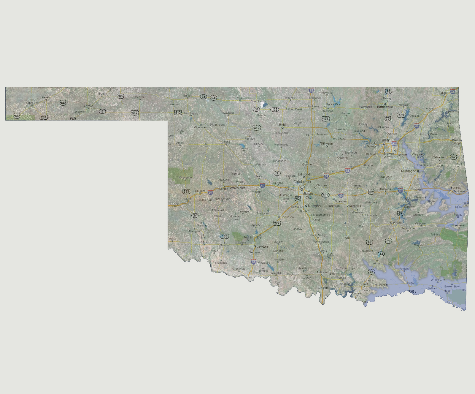
At
600 feet of sea level rise, both the Red and Arkansas Rivers would start
inundating towns on the eastern side of the state. The Red River would
head west along the southern border of the state flooding the Valiant,
Broken Bow, Antlers and Idabel areas. The Arkansas River would inundate
the areas of Spiro, Poteau, Muskogee and Fort Gibson. It would reach as
far inland as the eastern outskirts of Tulsa.
© 2012