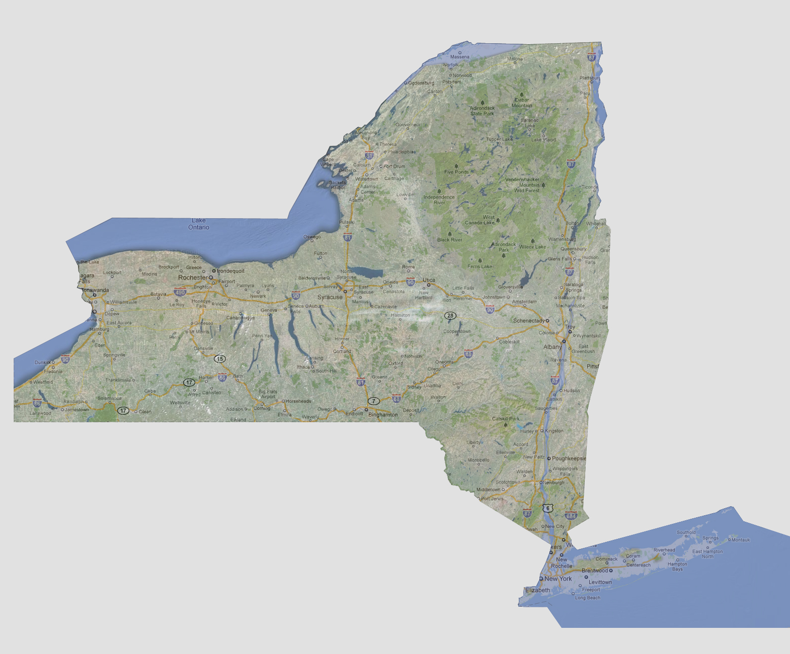

New
York - 150 feet
Along
the Atlantic coast, all of New York, New York, north to Yonkers and most
of Long Island are underwater. Only a few visible islands including Huntington
Station and Mt. Sinai remain above water. The Hudson River has broken
through most of its banks as far north as Saratoga Springs inundating
the state capital of Albany. If this is slower sea level rise, it is possible
that Lake Ontario could see water rise feeding in through Canada. If this
were to occur, the lower areas around Massena would be inundated with
water as well as the coastal areas of Lake Champlain.
© 2012