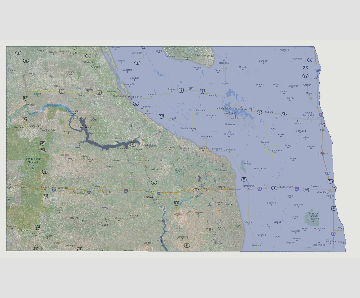
North
Dakota - 1800 feet
Flooding
of the James River would connect with the Red River, converging the two.
The shoreline would be drawn at Route 52 leaving the entire roadway underwater.
To the north, the city of Minot and the Minot Air Force Base are underwater.
A Canadian peninsula reaches down into North Dakota and contains the areas
of Dunseth, Belcourt and Rolla.
NOTE: The highest tsunami recorded was 1720 feet in Lituya Bay, Alaska.
© 2012