Missouri
- 1200 feet
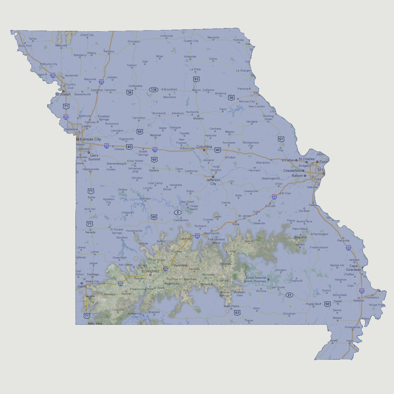
Between
600 and 1200 feet of sea level rise, most of Missouri is flooded. The
state capital Jefferson City, sitting at 700 feet above sea level, goes
underwater quickly. The largest land mass is now a large island from Neosho,
through Springfield and ending at Bismarck. There is also a small land
mass (approx. 75 square miles) on the northern state border just above
Maryville. Missouri’s highest point is Taum Sauk Mountain at 1,772
feet above sea level.
© 2012