Maine
- 3,000 feet
Again,
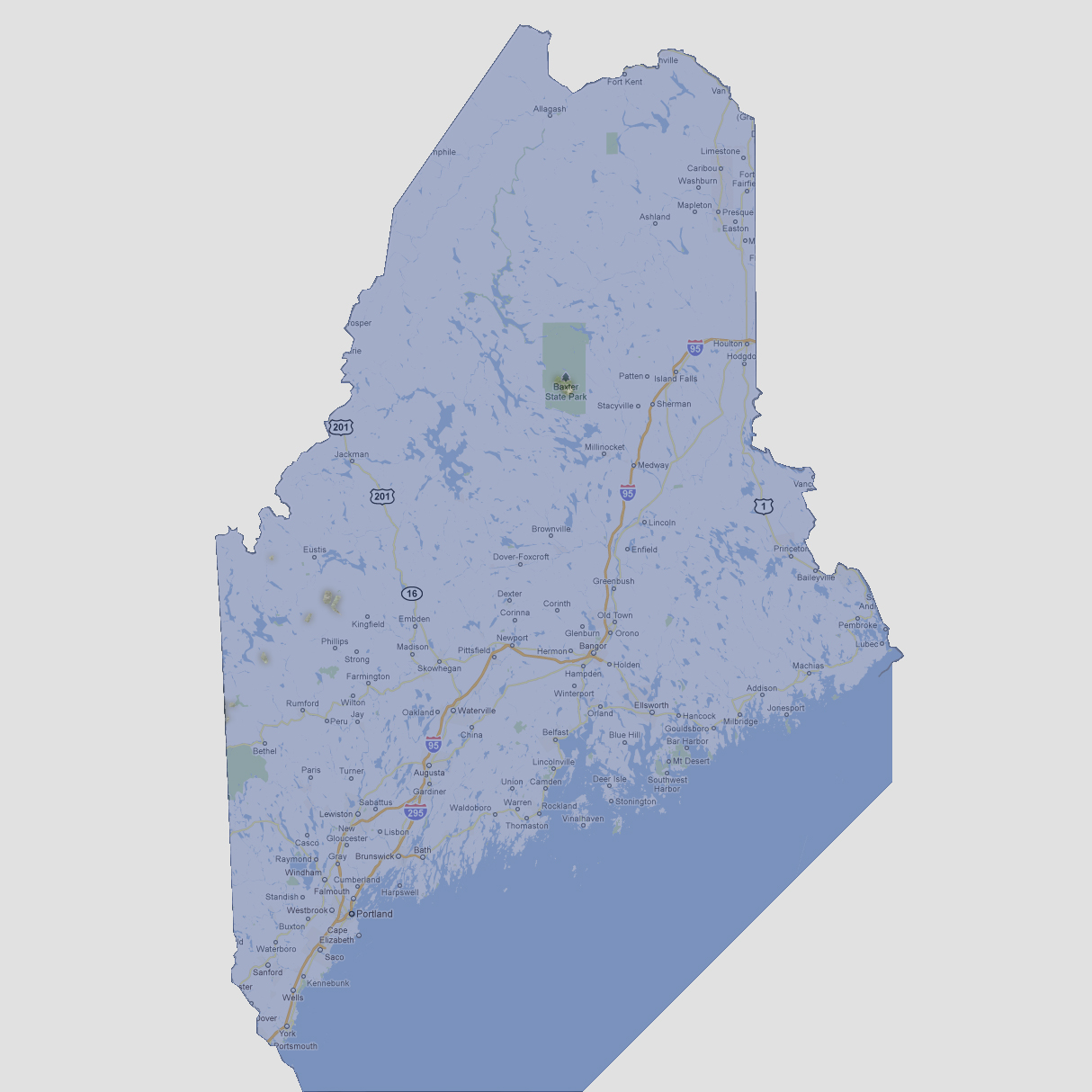
Baxter State Park’s higher elevations are still visible and a few
smaller islands to the west.
© 2012
|
|
Maine
- 3,000 feet |
| Select Sea Level Rise (in feet): | |
| To
use the map above, select the ocean level rise you would like to view, use
the plus and minus keys on the keyboard or the mousewheel to zoom in and
out. Click and drag on the map to change the viewing location.
© 2012 |