Maryland
- 150 feet
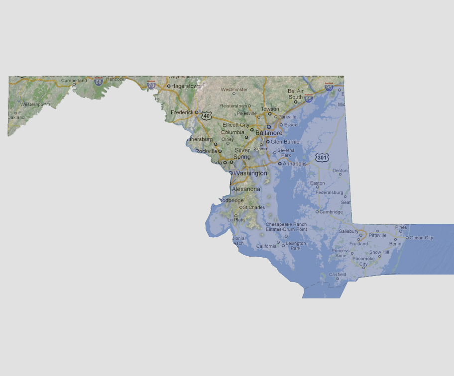
Fifty
percent of Maryland will be underwater at 150 feet of sea level rise.
This includes almost all areas south of Interstate 95 including the state
capital of Annapolis as well as the most of the US capital of Washington
DC. This is due to the Chesapeake Bay and Potomac River running so far
inland. West of the Chesapeake Bay, there is now a St. Charles Island,
the largest land mass south of 95 surrounded by a chain of smaller islands.
© 2012