State
Selection:
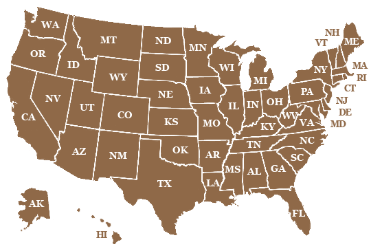
Select
the state you would like to view on the US map to the left.
Project
Background:
I
started making these maps after learning about the isle de La Palma in
the Canary Islands where there is an active volcano called Cumbre Vieja.
In the future, seismic activity on the island will cause the western flank
to collapse into the Atlantic Ocean. There is no way to know when. It
could be tomorrow or 100 years from now. In turn, this landslide will
cause a “mega-tsunami” to generate. This tsunami will reach
the east coast of the US approximately 6 hours after the collapse causing
massive destruction. The estimates for wave height vary from about 2,000-3,000
feet when it impacts the coast. This tsunami will also impact the coasts
of Africa (1 hour) and England (3.5 hours).
To see how far inland this would impact, I took a road map, overlaid a
topographical map and created a graphic showing where the water level
would end up at varying wave heights. I continued to work my way through
the east coast states in this manner out of curiosity.
In
March of 2011, Japan was hit with a tsunami caused by seismic activity
off their coast. At that point, I thought my graphics might be of use
to others online so I continued state by state, creating graphics for
the west coast of the US. I then looked at the interior states and, although
a large coastal wave would have little impact, went on to map how sea
level rise would impact those locations. These graphics could also be
used to see how slow sea level rise could impact different locations of
the US.
NOTE: These are not duplicates of a topographical map. As the oceans rise,
some areas lower than that currently sea level may be land-locked so would
not be impacted and that is calculated on these graphics. An example would
be some of the deserts in the mid-west US that are currently below sea
level but are dry due to the surrounding land heights.