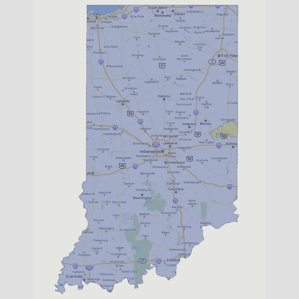
large image

Indiana - 1200 feet
At 1200 feet, the only visible land mass would be an island 20 miles across on the eastern border of the state near Winchester. This is Hoosier Hill, the highest point in Indiana at 1,257 feet above sea level.

Select Sea Level Rise (in feet):
To use the map above, select the ocean level rise you would like to view, use the plus and minus keys on the keyboard or the mousewheel to zoom in and out. Click and drag on the map to change the viewing location.

© 2012