Georgia
- 300 feet
Since
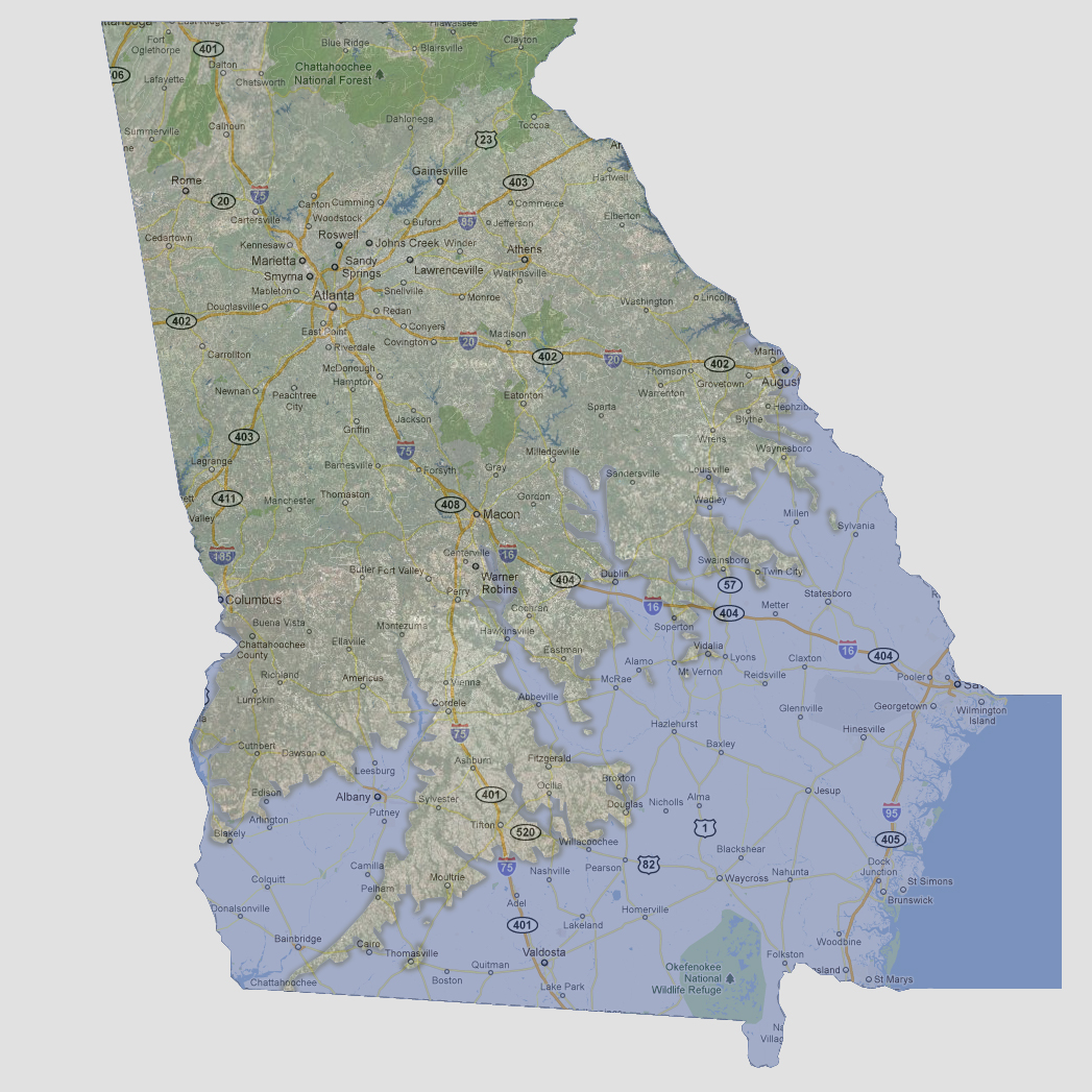
Florida is almost entirely underwater at this point, Georgia’s southern
and eastern borders are all flooded up through the towns of Augusta, Twin
City, McRae, Abbeville, Albany and Arlington. There is a long peninsula
following Interstate 75 breaking off to the south at Ashburn, following
Pelham and Cairo to the Florida border. River inundation has reached the
area just south of Macon.
© 2012