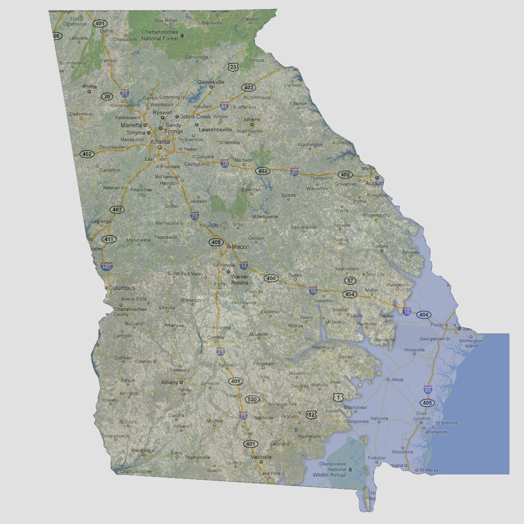
Georgia
- 150
feet
The
coastal areas of Georgia are underwater including Interstate 95, the Okefenokee
National Wildlife Refuge and the towns of Nahunta, Jesup and Savannah.
The Altamaha River and tributaries have broken their banks and flooded
coastal towns up through Soperton and almost reaching Fitzgerald.
© 2012