Connecticut
- 1800 feet
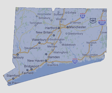
The
only visible portion of Connecticut is small peak at the extreme northwest
corner of the state. Mt. Frissell is Connecticut’s highest point
at 2,380 feet above sea level.
NOTE: The highest tsunami recorded was 1720 feet in Lituya Bay, Alaska.
© 2012