Arizona
- 150
feet
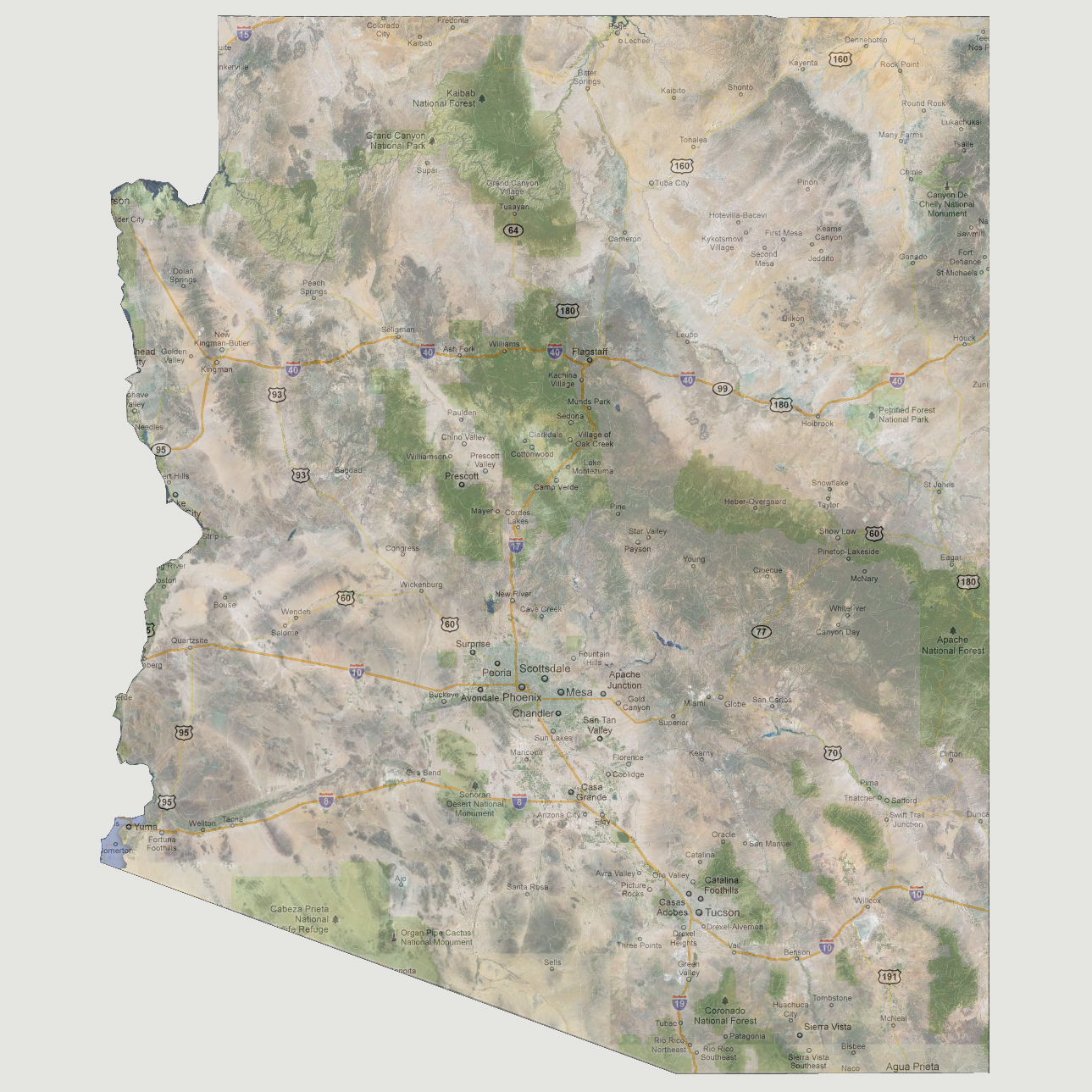
The
lowest point in Arizona is at 70 feet above sea level where the Colorado
River meets the state border in the southwestern corner. At 150 feet of
sea level rise, water would be flooding that location but be fairly isolated
to the Somerton and Yuma areas. The northern half of Yuma would be underwater.
© 2012