Arkansas
- 1800 feet
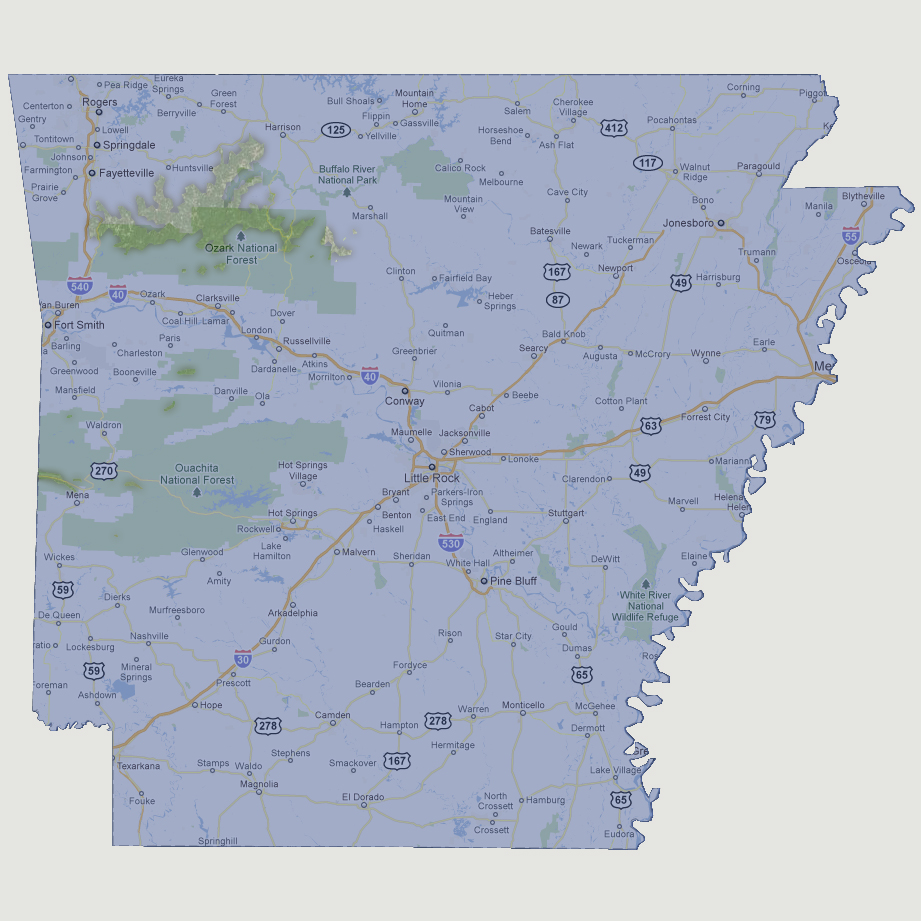
In
the Ouachita National Forest, there are a few square mile islands left.
In the northern portion of the state, the Ozark National Forest mountain
region is now a single ridge island running about 40 miles across. At
2,753 feet above sea level, the highest point in Arkansas is Magazine
Mountain located on one of the few islands in the Ouachita National Forest.
NOTE: The highest tsunami recorded was 1720 feet in Lituya Bay, Alaska.
© 2012