Arkansas
- 600 feet
Arkansas
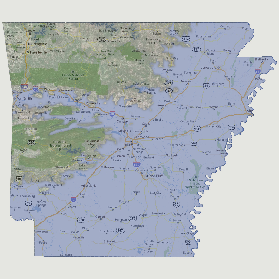
is now two major land masses split by the Arkansas River. The lower mass
is the Ouachita National Forest. The upper mass includes the Ozark National
Forest and north and runs to Quitman, Cave City and Ash Flat to the east.
Most of the major roadways in Arkansas are now underwater.
© 2012