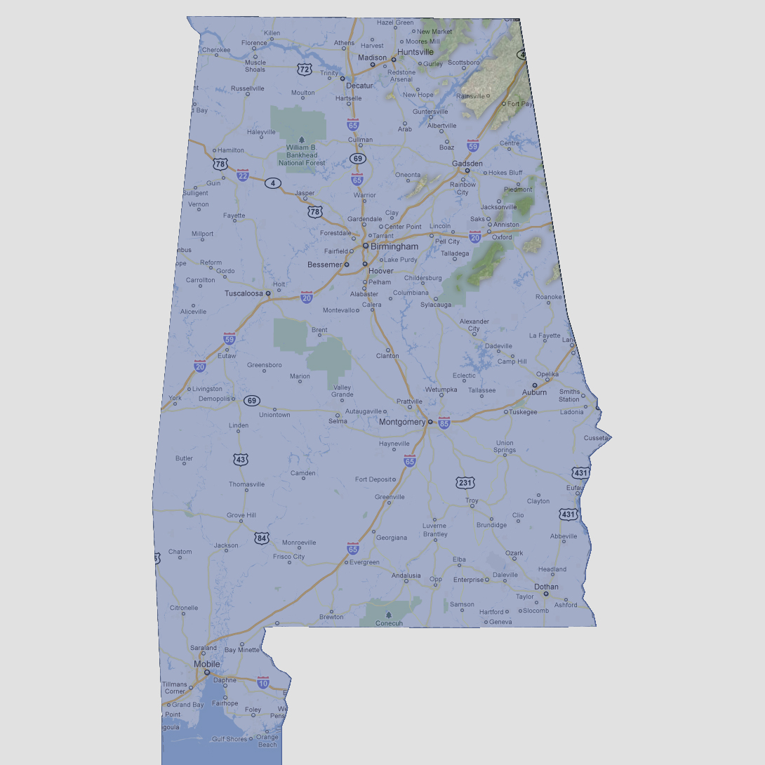
large image

Alabama - 1200 feet
Only a small group of islands are left above the water line. They include a cluster of islands in the Talladega National Forest, De Soto State Park, the Fort Payne/Rainsville area and a few islands northeast of Huntsville.

Select Sea Level Rise (in feet):
To use the map above, select the ocean level rise you would like to view, use the plus and minus keys on the keyboard or the mousewheel to zoom in and out. Click and drag on the map to change the viewing location.

© 2012